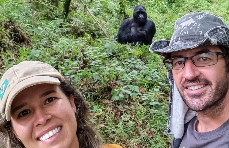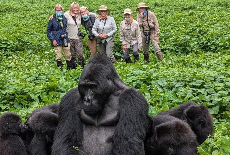
Bwindi Impenetrable Forest sits in one of Uganda’s most remote corners — which is, in large part, why nearly half the world’s mountain gorillas live there undisturbed.
The journey in is not trivial. It requires planning, the right vehicle, and a realistic sense of what the roads involve. But it is completely manageable, and the moment the forest appears on the ridgeline ahead of you, the journey makes immediate sense.
There are three realistic ways in: overland from Kampala or Entebbe, overland from Kigali across the Rwanda border, or by light aircraft into one of the two airstrips near the park.
Which route works best depends on where you’re arriving from, which sector your gorilla trek is assigned to, and how much of the journey you want to spend looking out of a window.
This page breaks down every option in full — distances, road conditions, drive times, flying logistics, and how your sector assignment changes the calculation.

Key Takeaways
- The overland drive from Kampala to Bwindi takes 8 to 9 hours; from Entebbe, add roughly 45 minutes
. - Most operators split the Kampala route into two days, overnighting in Mbarara or Kabale to avoid arriving at the forest exhausted
. - Flying from Entebbe to Kihihi or Kisoro cuts travel time to under 2 hours total, but costs significantly more
. - The Kigali entry route is the fastest way into Bwindi’s southern sectors — about 3 to 3.5 hours, including the border crossing
. - Bwindi has four sectors with different access points; your sector assignment determines your final approach road
.
Bwindi’s Four Sectors and Why They Matter for Travel

Before choosing a route, it helps to know where in the park you’re headed. Bwindi Impenetrable Forest is large — over 300 square kilometres — and its four gorilla trekking sectors are spread across the park with different access roads serving each.
The sector UWA assigns you is tied to the gorilla family group your permit is booked against, and the family group determines the gate.
1. Buhoma
This sits on Bwindi’s northwestern edge. It is the most established sector, has the widest range of accommodation nearby, and is the easiest to reach from the Kampala direction without detouring via Kabale.
The road into Buhoma via Fort Portal and Kihihi has improved considerably in recent years.
2. Ruhija
This is the highest sector, perched on Bwindi’s eastern rim at around 2,300 metres. The access road climbs steeply from Kabale and is rough in parts, particularly in wet conditions. It is stunning, and significantly less visited than the other sectors.
3. Nkuringo
This occupies the southwestern edge with sweeping escarpment views toward the Virunga volcanoes. The road in from Kisoro descends sharply and is the most challenging approach in the park. A good 4WD is non-negotiable here.
4. Rushaga
This is also in the south, accessed via Kisoro, and holds more habituated gorilla families than any other sector.
It is also the only location for the Gorilla Habituation Experience — the extended four-hour encounter with a semi-habituated family. Rushaga is the most popular sector on the Kigali entry route.
Route 1: Overland from Kampala or Entebbe
This is the most common approach for travellers flying into Uganda and for anyone building Bwindi into a broader Uganda circuit. It is a long drive. Honesty about that is more useful than minimising it.
a) The Main Road South

The standard route from Kampala follows the A109 southwest through Masaka, then continues through Mbarara before turning south toward Kabale. From Kabale, the road branches toward the relevant sector.
Total driving distance from Kampala city centre to Buhoma is approximately 480 kilometres; to the southern sectors via Kisoro, closer to 520 kilometres.
Under good conditions — no road works, no market-day traffic through Masaka or Mbarara, no rain-damaged sections near the park — this takes 8 to 9 hours to Buhoma and 9 to 10 hours to the southern sectors.
Factor in a fuel stop, a lunch break, and the inevitable slow stretch through a town market, and a 10-hour day is realistic for the door-to-sector-gate journey.
From Entebbe International Airport, add 45 minutes to an hour to these times for the airport-to-Kampala leg, depending on traffic. Kampala’s Entebbe Road carries heavy traffic during morning hours; if your flight arrives before noon, account for this.
b) Road Conditions by Section

1. Kampala to Mbarara (approximately 270km)
The A109 is the best road in this corridor. It is a paved dual carriageway for much of the distance, well-maintained, and used by international trucks running between Kampala and the Rwandan border. Expect smooth progress here.
2. Mbarara to Kabale (approximately 100km)
This section is paved and mostly in good condition, though narrower and with more bends as the road climbs toward the higher ground around Kabale.
The scenery improves sharply after Mbarara — the countryside opens into wide valleys and increasingly green hillsides.
3. Kabale to Buhoma (approximately 75km via Kanungu and Kihihi)
The approach road to Buhoma from the Kabale direction has been largely improved, though the final kilometres into the sector gate remain unpaved.
Allow 1.5 to 2 hours from Kabale. A standard 4WD handles this without issue.
4. Kabale to Rushaga and Nkuringo (via Kisoro, approximately 90km)
The road through Kisoro toward the southern sectors involves unpaved stretches that worsen significantly in heavy rain.
The descent into Nkuringo is genuinely steep. This approach requires a proper 4WD with experienced clearance — not an SUV with road tyres.
In the dry season, it is challenging; in the wet season, it demands a capable vehicle and a driver who knows it. Your operator should be providing both.
5. Kabale to Ruhija (approximately 30km)
Short by distance, long by time. The road climbs through a series of switchbacks with sections that become badly rutted during the long rains.
Allow 1 to 1.5 hours from Kabale, despite the modest distance.
c) The Two-Day Overland Option

Most operators running the Kampala route sensibly split it into two days.
The overnight stop is typically in Mbarara (roughly the halfway point, with a good range of mid-range hotels and guesthouses) or Kabale (the gateway town for all of Bwindi’s sectors, about an hour from the park).
Overnighting in Kabale is slightly more common on itineraries where guests want to arrive at the forest gate well-rested and with time to spare before the morning briefing.
This is the structure embedded in our longer Uganda itineraries:
- 5-day Primates Safari,
- 6-day Uganda Safari,
- 8-day Uganda Wildlife Safari,
- 10-day Primate and Wildlife Safari
all include an overnight stop en route to or from Bwindi as standard.
If your schedule only permits a single driving day, a 5 am departure from Kampala with a disciplined pace gets you to Buhoma before dark.
To the southern sectors in a single day, you would need to depart before 5 am and arrive close to or after dusk on the Nkuringo or Rushaga roads, which is not advisable.
d) An Alternative Northern Approach to Buhoma

For travellers whose itinerary takes them through Fort Portal or Queen Elizabeth National Park first, there is a second road to Buhoma that avoids Kabale entirely.
This route runs via Kasese and Kihihi along the Albertine Rift corridor, turning southeast into the park. The distance from Fort Portal is approximately 190 kilometres and takes 3.5 to 4.5 hours, depending on road conditions in the Kihihi section.
This approach makes Buhoma the natural endpoint of a northbound Uganda circuit — the 4-day Gorilla and Chimp Safari runs Kibale first, then Bwindi via this corridor.
It is a beautiful drive through the Albertine escarpment, with views back across Queen Elizabeth Park if you time the late afternoon section right.
Route 2: From Kigali, Rwanda

For anyone flying into Rwanda or whose trip is anchored in East Africa’s Great Lakes region, the Kigali entry route is the fastest and most efficient way into Bwindi’s southern sectors.
The total journey from Kigali city centre to Rushaga or Nkuringo — including the Gatuna/Katuna border crossing — typically takes three to three and a half hours.
This route is covered in full on our gorilla trekking from Kigali page, including border documentation, what to expect at the crossing, and the case for a 1-day versus 2-day trip structure.
In summary, the road is straightforward, the border is managed and tourist-friendly, and the proximity of Uganda’s southern sectors to Rwanda makes this the most accessible gorilla trekking route in East Africa on a value-for-money basis.
The Kigali route does not serve Buhoma or Ruhija conveniently.
Those northern and eastern sectors require arriving via Kampala or the Fort Portal corridor. For travellers wanting to reach Rushaga, Nkuringo, or Mgahinga — which sits even closer to the border — Kigali is the obvious entry point.
Route 3: Flying from Entebbe to Bwindi

Light aircraft access is the fastest way to cover Uganda’s distances, and for travellers on tight schedules or those who prefer to minimise road time, it is worth serious consideration.
a) The Airstrips
Two airstrips serve Bwindi:
1. Kihihi Airstrip
Kihihi lies north of the park near the Buhoma sector. It is the main air access point for northern Bwindi and for the Ishasha sector of Queen Elizabeth National Park.
The drive from Kihihi to Buhoma gate takes approximately one hour on a rough but navigable track.
2. Kisoro Airstrip
This serves the southern sectors — Rushaga and Nkuringo — and is also the air access point for Mgahinga Gorilla National Park. The drive from Kisoro town to Rushaga gate is roughly 45 minutes; to Nkuringo gate, similar.
Kisoro sits at over 1,800 metres altitude and is surrounded by the Virunga volcanoes, which makes for one of the more dramatic landing approaches in East Africa.
b) Flight Options
Aerolink Uganda operates scheduled flights between Entebbe International and both Kihihi and Kisoro, as well as charter options. Flight times from Entebbe run approximately 1 hour to Kihihi and 1 hour to Kisoro.
The aircraft are small — typically 9 to 12 seats — and baggage allowances are strict: 15 kilograms per person, including hand luggage, in soft-sided bags. A hard suitcase will not fit and will need to be stored or left behind.
Flight frequency varies by season and demand. Scheduled services typically run daily during high season and several times per week in low season, but schedules change.
Your operator should confirm current availability and book the flight as part of your overall arrangement.
c) Cost Consideration
The price difference between flying and overland is real. A return flight on a small aircraft adds several hundred dollars per person to the trip cost.
Whether it is worth it depends on your time budget and tolerance for long drives.
A traveller with five days in Uganda who wants to see Kibale’s chimpanzees and then trek gorillas will almost certainly save a full day by flying one leg — that recovered day is genuinely valuable on a short trip.
On longer itineraries of eight days or more, the overland approach becomes more viable and often more rewarding; the driving corridor from Kampala to Bwindi passes through some of Uganda’s most varied countryside.
Practical Notes for All Routes

1. Vehicle Requirements
All routes to Bwindi, from whatever direction, end on unpaved roads for at least the final approach. A 4WD vehicle is not optional — it is the baseline. Any reputable operator will use a Land Cruiser 4WD or equivalent.
If you are self-driving, which is uncommon for gorilla trekking but possible, a 4WD with good ground clearance and a high-range differential is the minimum requirement for Nkuringo and Ruhija.
Do not attempt either in a standard saloon car, regardless of what the road appears to be doing in the dry season.
2. Fuel
Fuel stations exist in Kampala, Masaka, Mbarara, Kabale, Kisoro, and Kihihi town. There is nothing reliable after Kihihi toward Buhoma, and nothing after Kisoro toward the southern sectors.
Your driver should fuel in Kabale or Kisoro before the final approach without prompting — if they do not, raise it.
3. Timing Your Arrival
Gorilla treks depart from the sector gate at approximately 7:30 to 8am after a briefing. You need to be at or near the gate the night before.
Arriving at your accommodation after dark on unpaved mountain roads near a national park is not dangerous, exactly, but it is uncomfortable and avoidable with a well-planned schedule.
For the Kampala route, this means overnighting en route (Mbarara or Kabale) and completing the final approach in the morning.
For the Kigali route, it means a same-day arrival in the early afternoon with time to settle and receive your evening briefing. For the fly-in option, a morning flight gets you to your lodge by early afternoon with minimal stress.
4. Wet Season Road Conditions
Bwindi receives high rainfall year-round, with the heaviest months being April, May, October, and November. Road conditions in the southern and eastern sectors deteriorate most sharply in these periods.
The Nkuringo descent in particular becomes genuinely precarious after sustained rain.
A good operator will know this and plan accordingly — but it is worth raising if your trip falls in the long rains and you are assigned to those sectors.
Quick Comparison: Routes at a Glance
| Route | From | Approx. Time | Best For |
|---|---|---|---|
| Overland via Kampala | Entebbe/Kampala | 8–10 hours | Longer Uganda circuits, budget-conscious travellers |
| Overland via Kigali | Kigali Airport | 3–3.5 hours | Short trips, southern sector treks |
| Fly Entebbe to Kihihi | Entebbe | ~2 hours total | Buhoma sector, short schedules |
| Fly Entebbe to Kisoro | Entebbe | ~2 hours total | Southern sectors, Mgahinga |
| Northern corridor via Fort Portal | Fort Portal/Kasese | 3.5–4.5 hours | Buhoma, post-Kibale or Queen Elizabeth itineraries |
Frequently Asked Questions

1. Can I self-drive to Bwindi from Kampala?
Yes, though it is uncommon. You will need a 4WD rental, an international driving permit valid in Uganda, and confidence on unmarked unpaved roads.
The larger concern is practical: self-driving travellers must still arrange their gorilla permit, lodge bookings, and sector-gate logistics independently.
Most people find the end-to-end cost difference between self-drive and a guided transfer less significant than expected once vehicle hire is factored in. An experienced driver also adds local knowledge that route apps cannot.
2. Which is the easiest sector to reach from Kampala?
Buhoma. It sits on Bwindi’s north-western edge, directly accessible via the Fort Portal or Kabale corridors, with the most forgiving final approach road of the four sectors.
Ruhija, Nkuringo, and Rushaga all involve more demanding final-leg roads.
3. How far is Kabale from Bwindi?
Kabale is the closest major town to the park and sits roughly 30 kilometres from Ruhija gate, 75 kilometres from Buhoma (via Kanungu), and approximately 90 kilometres from the southern sectors via Kisoro.
Most travellers on the Kampala overland route overnight in Kabale before completing the final approach the following morning.
4. Is the road to Bwindi paved?
The main Kampala to Kabale highway is paved and in generally good condition. From Kabale onward to the sector gates, the roads are unpaved to varying degrees.
The worst conditions are on the Nkuringo descent and the Ruhija climb. The Buhoma approach via Kihihi is the most improved of the four.
5. Do I need a driver, or can I use a taxi or bus?
Public buses run regularly between Kampala and Kabale, and from Kabale, you can find shared taxis to Kisoro or Buhoma.
This is viable if you are already holding an independently booked permit and have arranged accommodation.
In practice, the logistics involved in coordinating all of this independently, for a trip this specific, make hiring an operator for the full arrangement more efficient and not significantly more expensive when all components are priced out separately.
Sorting out how to get there is the logistical part. The rest — your permit, your sector, your accommodation, your trek day — we handle for you.
Tell us your travel dates, and we’ll build the right itinerary around your schedule.